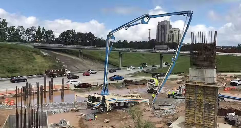
Photo Documentation for a Highway Construction Project in Georgia
One of the top five engineering companies in the world is managing and overseeing a large highway construction project that spans over five years. The contract requires the consultant to create photo documentation as well as a time lapse-style picture gallery. QNOPY, therefore, provided a complete solution that includes access to the QNOPY Mobile App to capture photos and forms, unlimited cloud storage, multiple backups of the data and photos, photo log generation, and a time lapse photo module.
Challenges
Enable several inspectors to simultaneously oversee the project
Capture and then draw on photos and maps to mark activities
Tag photos with activity codes, as well as areas and zones
Complete daily log forms along with photos
Maintain photos for the duration of the project
A photo log per user, per day, or for specific activity codes
Search for photos and view all the photos taken from a point, arranged by the time taken
QNOPY's Photo Log Solution
QNOPY provided a photo log solution with which the client’s inspectors can record daily notes and capture geotagged and timestamped photos. Additionally, inspectors can draw over the photos and over satellite maps. Forms and photos are tagged to either a station or a section of the project. Photo logs can then be exported into Word, Excel, or PDF formats.

Generate a photo log for an individual user, a date range, or a specific location
Highlights
Take multiple photos and enter captions for each
Record daily notes in the daily notes form
Draw over both photos and satellite imagery
Upload blue prints, health and safety plans, permits, and other documents into the Project Folder (accessible from the Mobile App)
Hospital map feature, which navigates users to a nearest hospital, in case of emergency
Project managers can add and remove users from the program
All collected data instantaneously viewable in a tabular format
Search the photos with a keyword, by user, or by a date range
View photos on a satellite map, and then click on the photo to expand and view captions
Export photos as a zip file
Generate a photo log for an individual user, a date range, or a specific location
Export photo logs in Word, Excel, or PDF formats
Edit data in either a tabular or a form view
Save all data changes in a complete audit trail
Export inspection reports to an Excel file, edit, and then re-upload
Results
Eliminated IT-related costs for photo storage and management
Complete audit trail
Privacy ensured by multiple layers of security
Zero data or photos lost over the project duration
Headache-free photo management with unlimited storage and multiple daily backups
Over 20,000 photos recorded in 12 months

QNOPY is a connected environmental data management platform that simplifies field collection, laboratory workflows, GIS mapping, project management, and reporting - all in one secure system.
Solutions
©2026 QNOPY All rights reserved